Who We Are
Our mission is to enhance renewable energy resource exploration through the application of scientific research and methods in the recognition and development of renewable energy resource projects in the Great Basin.
We bring extensive experience in complex 3D geological strain environments; taking a 3D-first approach to subsurface interpretation has allowed our team to assemble leading geological datasets of complex fault systems and elevated our understanding of structural controls on geothermal and mineral systems.
We combine our domain expertise with advanced analytical methods to connect physical modelling to geostatistical approaches. We use these models to distinguish high-opportunity resources, identify high-risk areas, and ground predictions in geological principles.
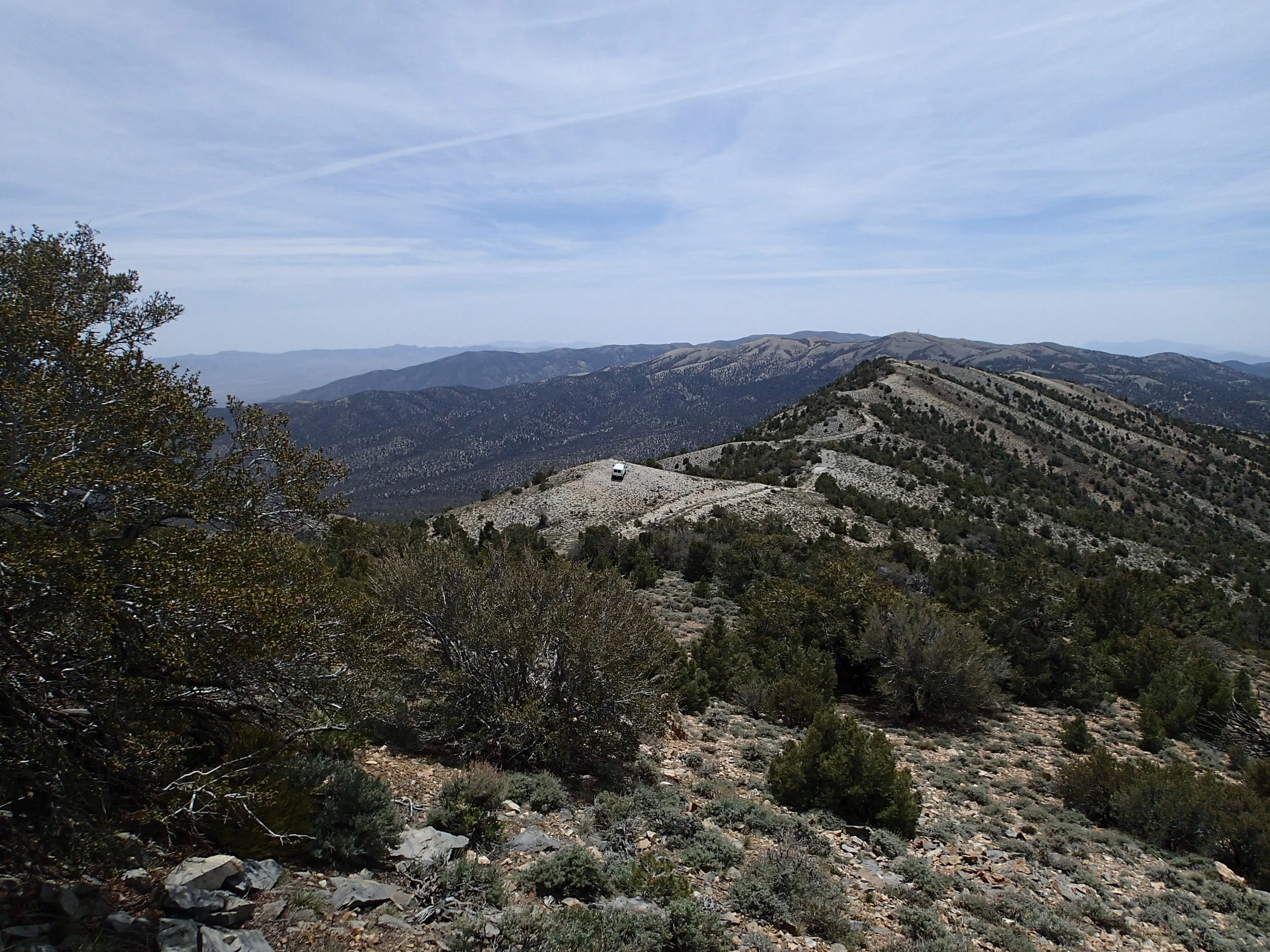
Palmetto Mountain viewed from the northern Palmetto Mountains

Team
John Oldow, Ph.D
Principal, Geoscience
John Oldow has provided regional and detailed geologic investigations for major and junior mineral and petroleum companies for over 40 years. Projects in the western Great Basin, Arctic Alaska and Canada, southern Italy, and western Venezuela include structural, stratigraphic, and tectonic analysis of fold-thrust belts, strike-slip fault systems, and extensional deformation belts. Studies are largely field-based and include geologic mapping and the application of structural and stratigraphic analysis, potential-field geophysical acquisition and modeling, and the interpretation of well-logs and seismic reflection profiles, to produce time-integrated 3D models of basins and deformed belts.
Since receiving a B.S. Geology in 1972 from the University of Washington and a Ph.D. Geological Sciences in 1978 from Northwestern University, he was Professor of Geosciences at Rice University, the University of Idaho, and the University of Texas Dallas until his retirement from academia in 2018. He published extensively and has directed integrated investigations involving teams of geoscientists to produce regional syntheses and detailed local studies of specific targets.
John is the Principal of Borealis Geosciences which provides geological and geophysical consulting and instructional services to the minerals and petroleum industry.
David Katopody, Ph.D
Principal, Strategy
David Katopody is a data and geoscience professional with significant experience leading the analysis, interpretation, and effective communication of complex spatial data sets to advance strategic objectives. David works across several industries, chiefly real estate and natural resources, and specializes in delivering highly technical insights to business leadership.
David received a B.S. and Ph.D. in Geosciences from The University of Texas at Dallas in 2012 and 2018, respectively. Working with John Oldow, his Ph.D advisor, and graduate student colleagues, he was part of an integrated team of geologists and geophysicists working to understand the complex pattern of active faults in the southern Walker Lane. His contribution was the mapping of a previously unknown fault system in the Palmetto Mountains which linked the basins of the southern Walker Lane to the Fish Lake Valley Fault System. This project underpins his expertise in the Lithium exploration industry, as his work was a critical element of understanding the complex geology of the Silver Peak Clayton Valley region.
Since completing his studies, David has worked as a data and geoscience professional servicing the real estate and natural resources industries as the Director of Location Intelligence Services at Katopody, LLC. At Katopody, he leads a team of data scientists that develop complex spatial algorithms that identify land suitable for tax-incentivized real estate development.
Nicholas Mueller, Ph.D
Principal, Geophysics and Data Science
Nicholas Mueller is an expert Geophysics with specializations in Gravity methods and Geospatial Data Science. Professionally, Nicholas works as part of integrated teams consisting of business and data professionals, where he uses his expertise to address complex business problems for clients and stakeholders.
Nicholas received a B.S. (2011) and Ph.D (2019) in Geosciences from the University of Texas at Dallas, where he specialized in Potential Field Geophysics applied to Structural Geology and Tectonics. During his dissertation research, he assembled the most extensive database of gravity stations in the Walker Lane, covering an area of over 50,000 km2 within the southwestern Nevada border region. Nicholas’ used these data to develop a regional extensive gravity model to understand the complex geometry of subsurface basins. To date, this is one of the most sophisticated models of basin geometry developed for the southern Walker Lane, depicting details that are of critical importance for minerals exploration in the region.
Since receiving his Ph.D, Nicholas has worked as part of the Data Science team at Katopody, where he is responsible for all aspects of geospatial model development and management and engages in several client-facing duties as a consultant. In addition to data science, Nicholas has participated in several natural resource consulting engagements with Katopody, ranging from evaluation of hydrocarbon resources in the eastern shelf of the Permian Basin, to investigation of Rare Earth Element deposits in west Texas.